29th July 2022
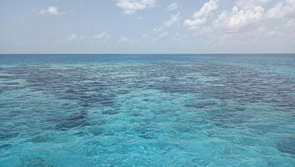
Satellite charts are invaluable here as a complement to “eyeball navigation” (which, it now occurs to me, is a strange term). The google maps images were best for this area (SASPlanet and SAT2chart) downloaded as a .kap so we can run it on the tablet within OpenCPN. You can’t estimate depths directly, especially when seagrass is involved, but you can get a good idea of where the shallow reef structures are. That’s useful both for plotting easier routes to navigate, and also for picking spots to anchor and explore with a snorkel on.
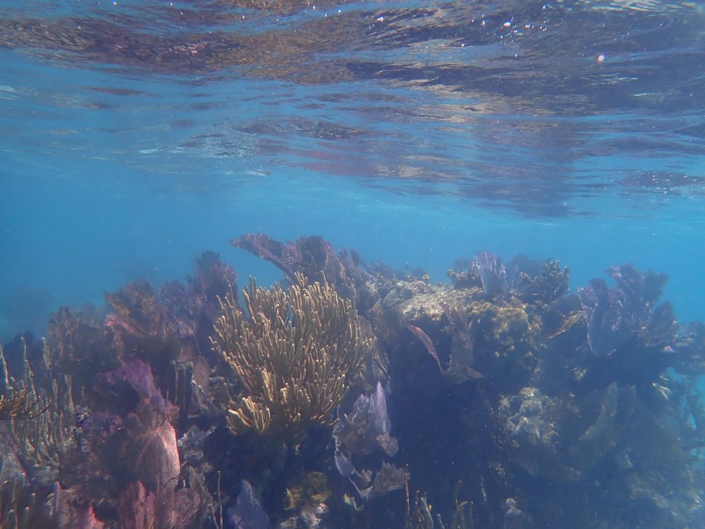
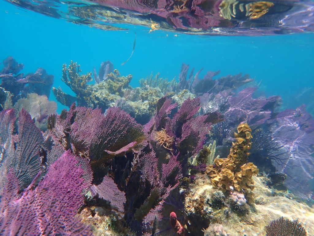
So on the way over, having examined a couple of spots that looked nice from the satellite images, we anchored with a reef 10m off our stern, in about 5m of water (a depth which means Arthur can dive to the bottom, and Theo can get within a few feet.) It was quite pretty.
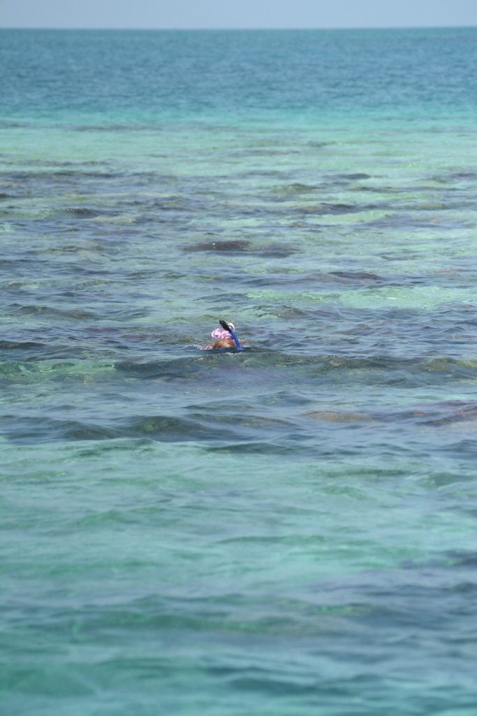
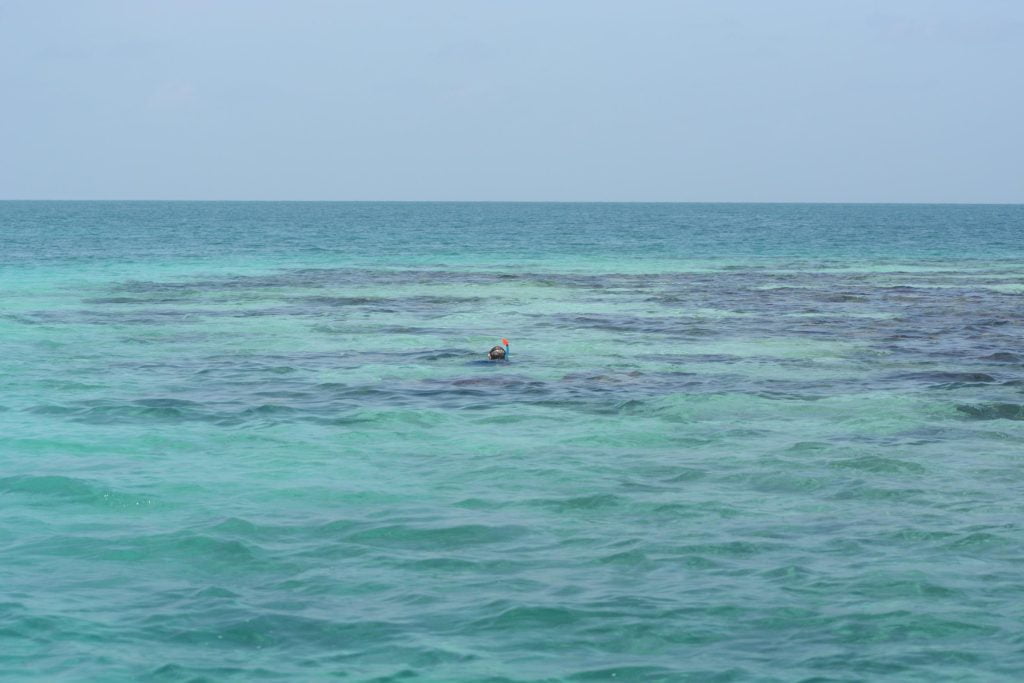
Arthur and Theo got to watch a 6’ Barracuda having its teeth cleaned at a cleaning station, which is rather spectacular. They were maybe 100m from the boat at this point, on the edge of a drop-off with nothing walkable in between. They’re so confident in the water now; it’s awesome.
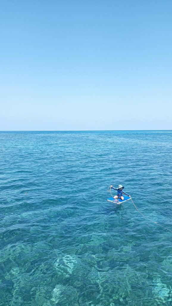
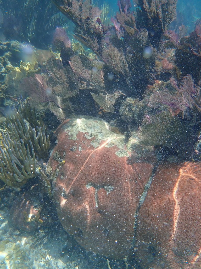
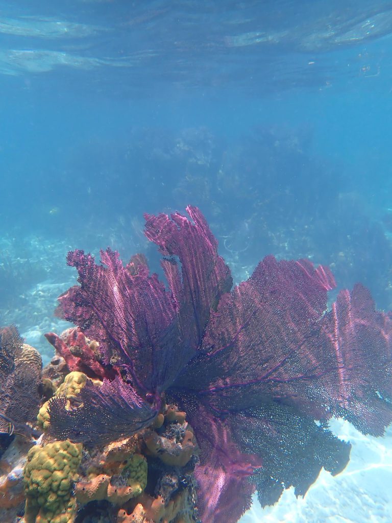
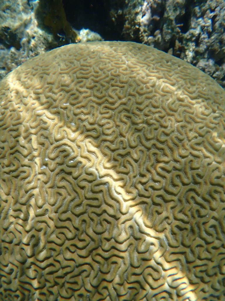
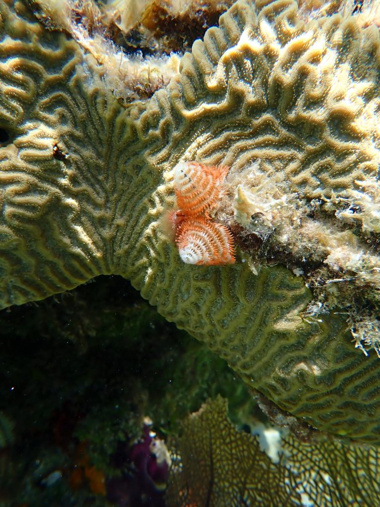
I had a snorkel too here and got the paddleboard out to glide Hector over the top of the reef. The reef off the stern was stunning, although in places diseased; the reef to the South-West which Charlotte went over to visit was also beautiful. Both were packed with life. We left while light was good enough for the rest of the trip to Middle Cay, with the intention of revisiting later if conditions allowed.